NASA and USDA sign deal to use satellite data for US farms
NASA and the US Department of Agriculture agreed to pool Earth observation data and analytics for crop monitoring, yield estimates and drought assessments.
LandGadget Newsroom · · 2 min read
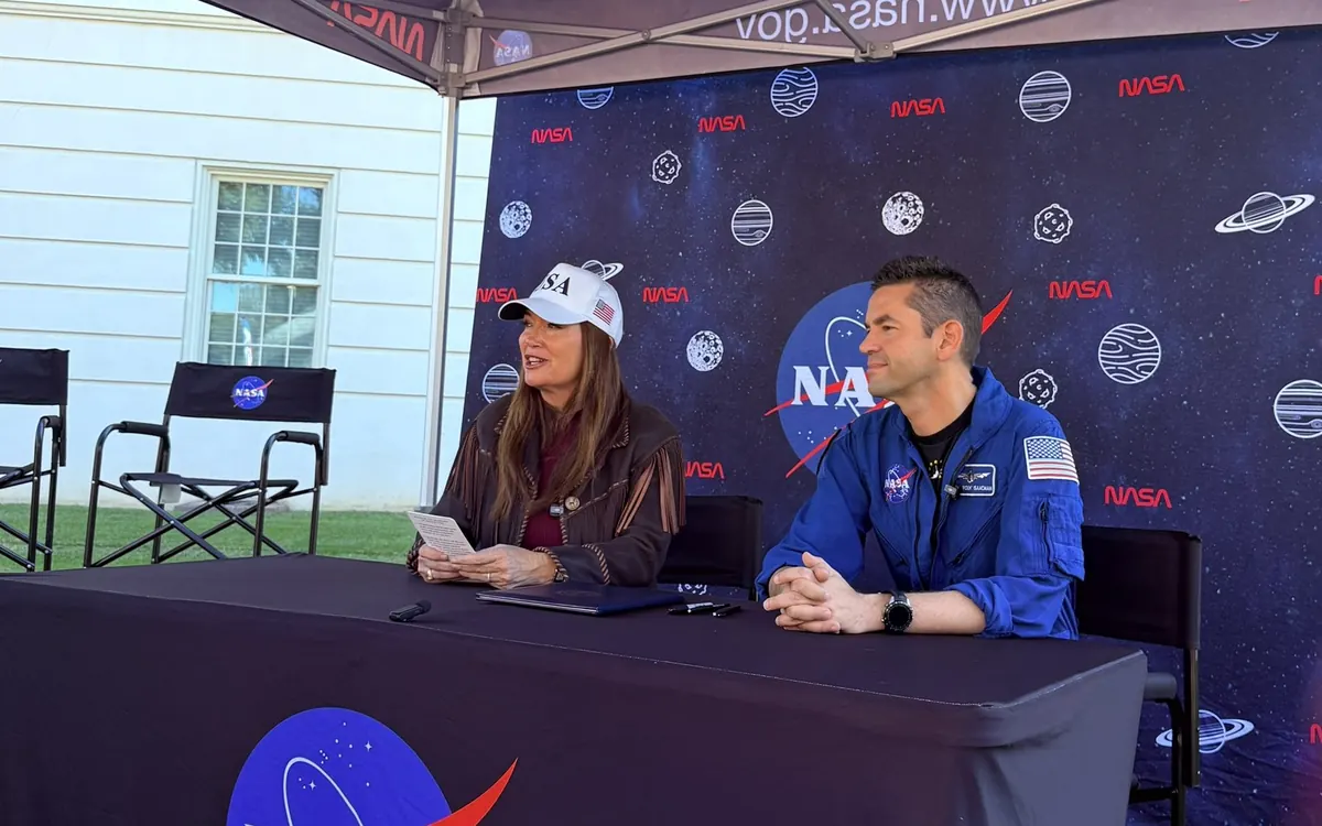
NASA's satellites already watch the planet's fields and forests from orbit. Now the agency has formally agreed to put more of that capability to work for American farmers. NASA and the US Department of Agriculture (USDA) have signed a Memorandum of Understanding that expands their cooperation on Earth observation, geospatial analytics and advanced data technologies, NASA announced.
NASA Administrator Jared Isaacman and Agriculture Secretary Brooke Rollins signed the agreement on 24 October during NASA's Inspiration Tour stop at the University of Alabama in Tuscaloosa.
What the agreement covers
The two agencies have worked together for years on research and data sharing. The new memorandum focuses on integrating that data better and coordinating more closely. Under it, they can explore work in:
- agricultural statistics and remote sensing science;
- modelling and geospatial data engineering;
- what NASA's release calls "super intelligence";
- new ways to manage and analyse very large datasets, supporting the USDA's data modernisation plan.
The practical aim is to match Earth observation data and tools more closely to what agriculture needs: crop monitoring, acreage and yield estimates, and assessments of drought and other disasters. NASA says farmers, ranchers and policymakers should get more timely and reliable information as a result.
"By combining NASA's Earth observation data and technical expertise with USDA's knowledge of American agriculture, we can improve the information available to farmers and ranchers," Isaacman said. Rollins said the partnership would "enhance USDA acreage and yield estimation and drive profitability for American agriculture."
What it doesn't do
A memorandum of understanding is a framework, not a programme. The announcement does not include a new satellite, a budget figure or a timeline, so the real test will be which projects come out of it and when.
Why satellites matter for farms
From orbit, instruments can measure how green and healthy vegetation is, how much water is in the soil and how crops change through a season, across entire regions at once. That is the same kind of measurement NASA uses for science: its PACE satellite, for example, recently mapped autumn leaf colour around the world, and new instruments such as the CASALS lidar aim to map Earth's surface in 3D. Turning those measurements into reliable crop forecasts is the part this agreement is meant to speed up.
More from Science & Space
View all →Read next

Samsung reportedly cuts Galaxy A output 20% on memory costs
ETNews says Samsung is cutting Galaxy A production by about 20%, roughly 10 million phones, to favour flagships as memory and chip costs squeeze margins.
How to choose a tablet in 2026: iPad, Android or Windows?
Tablet buying guide 2026: iPad vs Android vs Windows, screen size, OLED vs LCD, RAM and storage, stylus and keyboard costs, cellular and software updates.
Lidar vs cameras for self-driving cars: which is better?
Lidar vs cameras vs radar: how each self-driving sensor works, why Tesla uses cameras only while Waymo, Mercedes and the Rivian R2 add lidar, and what it means.